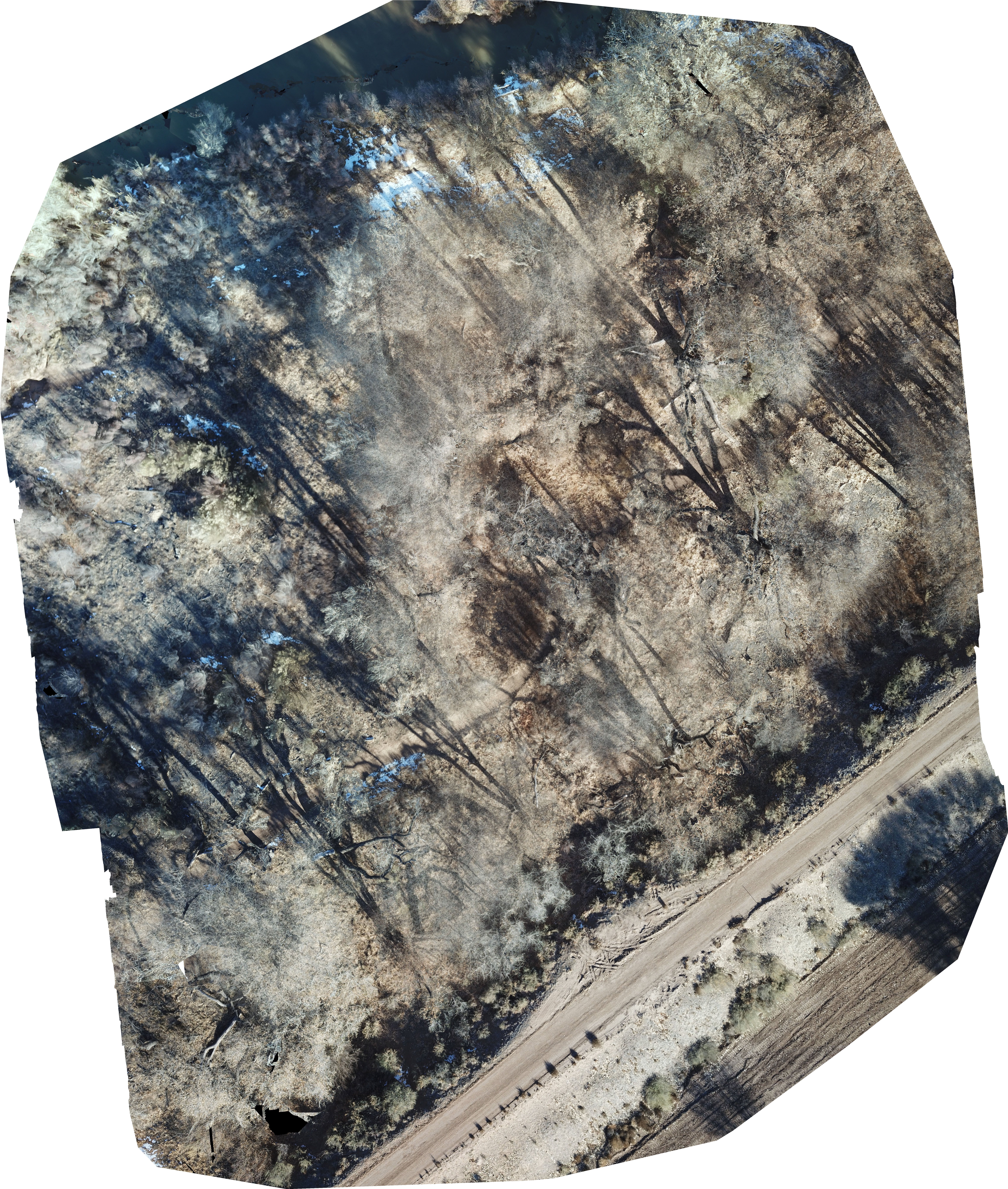
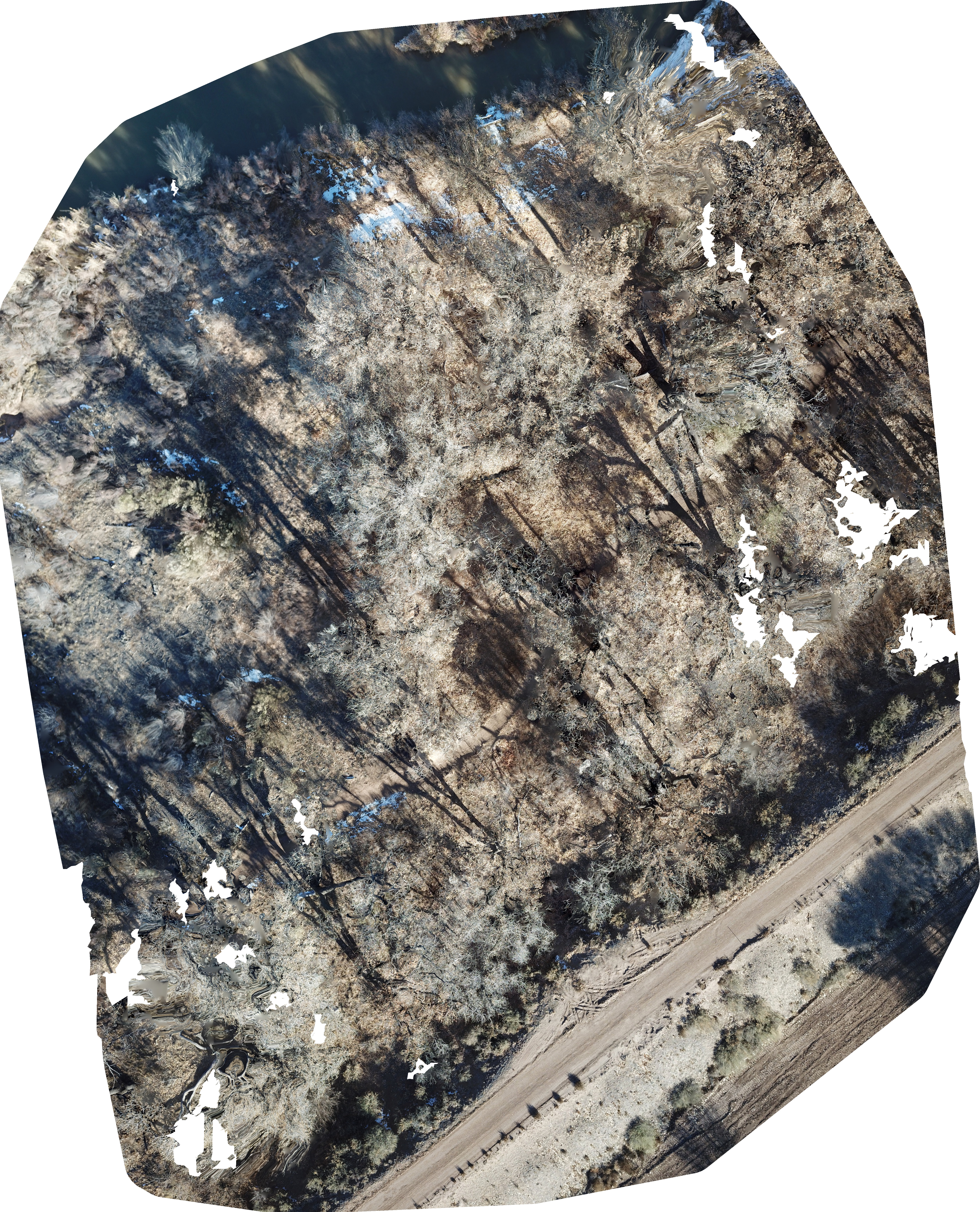
Placitas Mapping Project
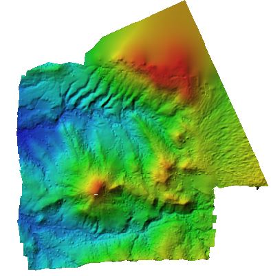
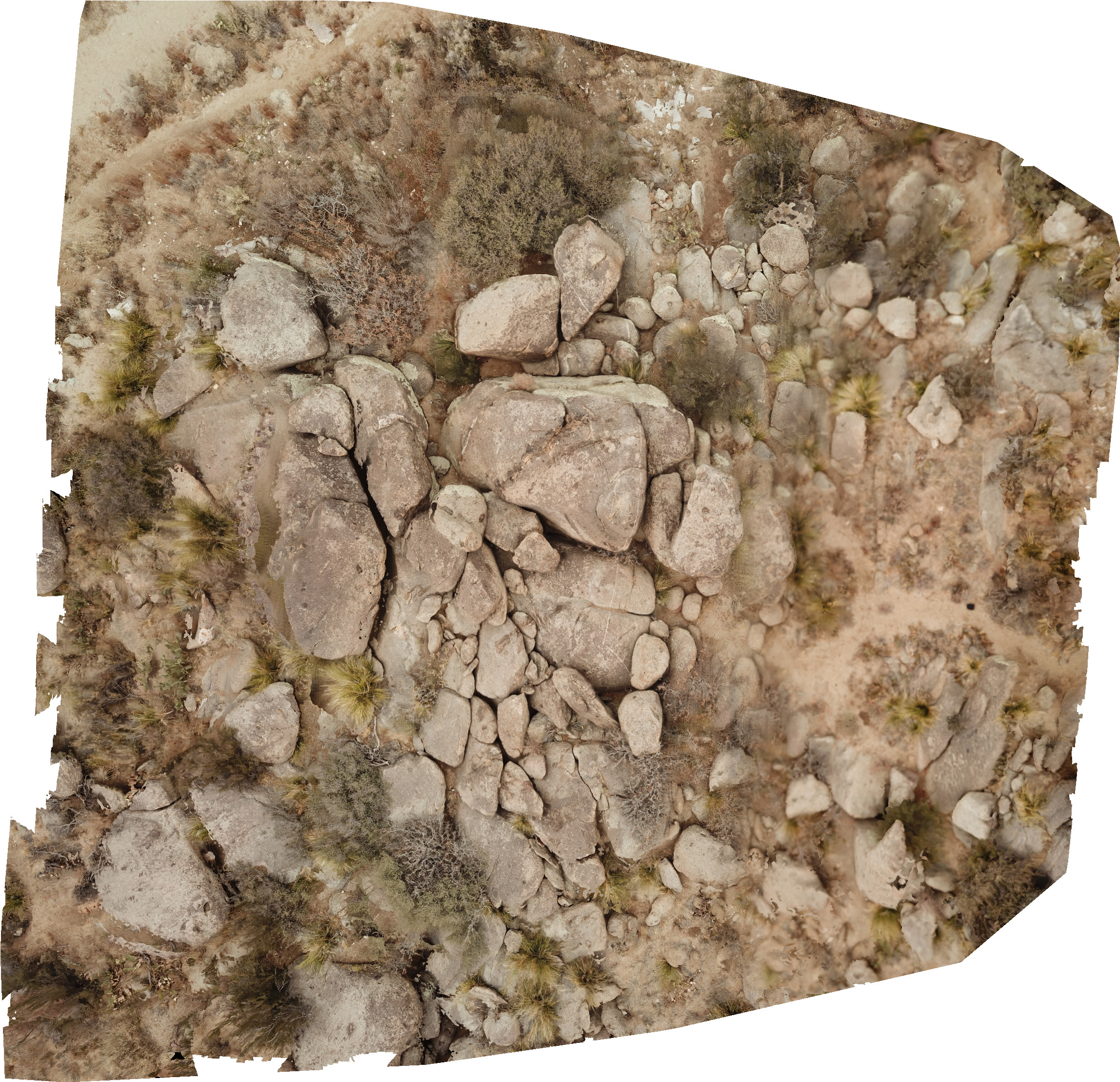
This is the first UAS mapping project I ever completed. The orthomosaic and model were created in Agisoft
Metashape.
The final maps were created in ArcMap. This project was completed for the UNM course EPS 400- Drones.
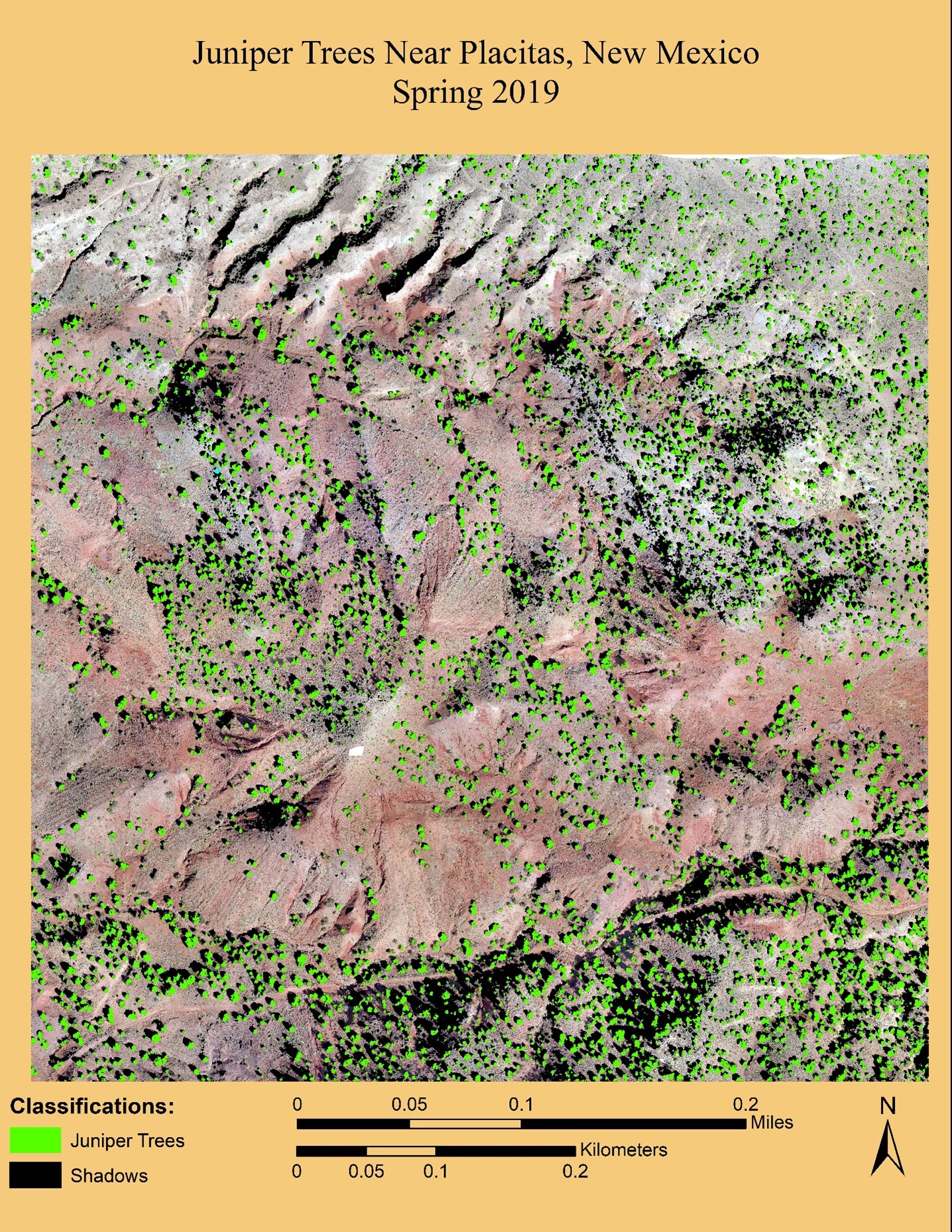
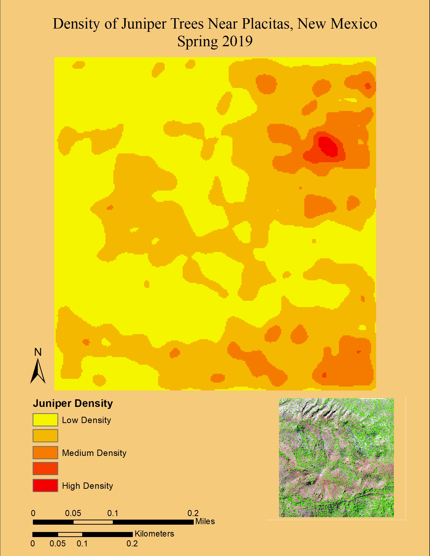
The idea behind this project was to create an orthomosaic and 3D model. In turn, I added the task of using ArcMap machine learning to locate juniper trees within the study area.
All end products seen were created using UAS imagery collected from a DJI phantom 4.
